




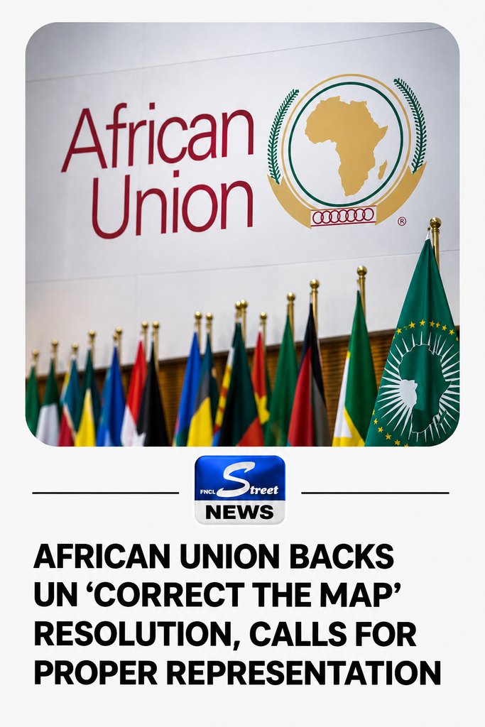
African Union Backs UN Adoption Of ‘Correct The Map’ Resolution, Calls For Accurate Representation Of Africa
The African Union (AU) has welcomed the adoption by the United Nations General Assembly of a resolution seeking more accurate representation of Africa and other regions of the world on global maps.
The resolution, championed by Togo on behalf of the African Group, was adopted on Friday amid growing efforts to address distortions in the relative sizes of continents on traditional world maps.
The Chairperson of the African Union Commission, Mahmoud Ali Youssouf, welcomed the development in a statement posted on X by the continental body.
The AU described the adoption as an important step towards ensuring that Africa is represented according to its actual geographical size.
“The Chairperson particularly commends the leadership of the Republic of Togo and the commitment of the President of the Council, H.E. Faure Essozimna Gnassingbé, under whose leadership Togo championed this initiative on behalf of Africa and helped mobilise broad support within the international community,” the AU said.
Youssouf also congratulated AU member states and the African Group at the United Nations in New York for what he described as their unity and collective mobilisation in support of the initiative.
The resolution, known as the “Correct The Map” initiative, seeks to promote cartographic projections that provide a fairer and more scientifically accurate representation of the relative surface areas of the world’s continents.
The AU said the widely used Mercator projection was developed in the 16th century primarily for maritime navigation and does not accurately represent the relative sizes of different regions.
“Designed in the 16th century primarily for navigation, the Mercator projection does not accurately reflect the relative surface areas of the different regions of the world and significantly understates the true size of the African continent,” the continental body said.
The Mercator projection, developed by Flemish cartographer Gerardus Mercator in 1569, preserves angles and shapes in ways that are useful for navigation but increasingly exaggerates the apparent size of regions farther from the Equator.
As a result, countries and continents in northern and southern regions can appear considerably larger than they are relative to areas closer to the Equator.
Africa, which covers about 30.3 million square kilometres, can consequently appear much smaller than its actual landmass when compared visually with Europe and North America on Mercator maps.
One alternative is the Equal Earth projection, developed in 2018 to preserve the relative surface areas of continents while maintaining recognisable shapes.
The AU said the “Correct The Map” initiative goes beyond cartography, arguing that the way Africa is represented can influence perceptions of the continent globally.
“Beyond cartography, this initiative underscores the importance of representing Africa on the basis of objective and scientifically established realities,” it said.
The continental body urged international institutions, educational systems, publishers and digital platforms to progressively adopt maps that more accurately reflect the actual land areas of different regions.
It also said the African Union Commission would continue working with Togo, member states and other partners to support implementation of the initiative.
“Africa must be represented as it truly is: in its true dimensions and in its rightful place in the world,” the AU said.
The development comes amid a broader international debate over distortions associated with the Mercator projection and calls for greater use of alternative maps that better represent the relative sizes of continents.
The United Nations resolution was strongly backed by African countries, with Togo playing a leading role in mobilising support for the initiative.
The adoption represents a symbolic victory for the campaign, although the resolution does not by itself compel countries, publishers or digital platforms to immediately abandon the Mercator projection.
Instead, it encourages the adoption and wider use of cartographic representations that more accurately depict the relative land areas of the world’s regions.
The AU said the initiative would help ensure that future generations encounter a representation of the world based more closely on geographical reality rather than historical cartographic conventions.
